

Your Challenges. Our Solutions
SAFER OPERATIONS
Reduced personnel exposure to hazardous or dificult to access areas
BETTER INFORMATION
Get clear, accurate site information to make decisions and keep projects moving
COST CONTROL
Reduce unnecessary site visits, avoid delays, and use resources more efficiently
Services
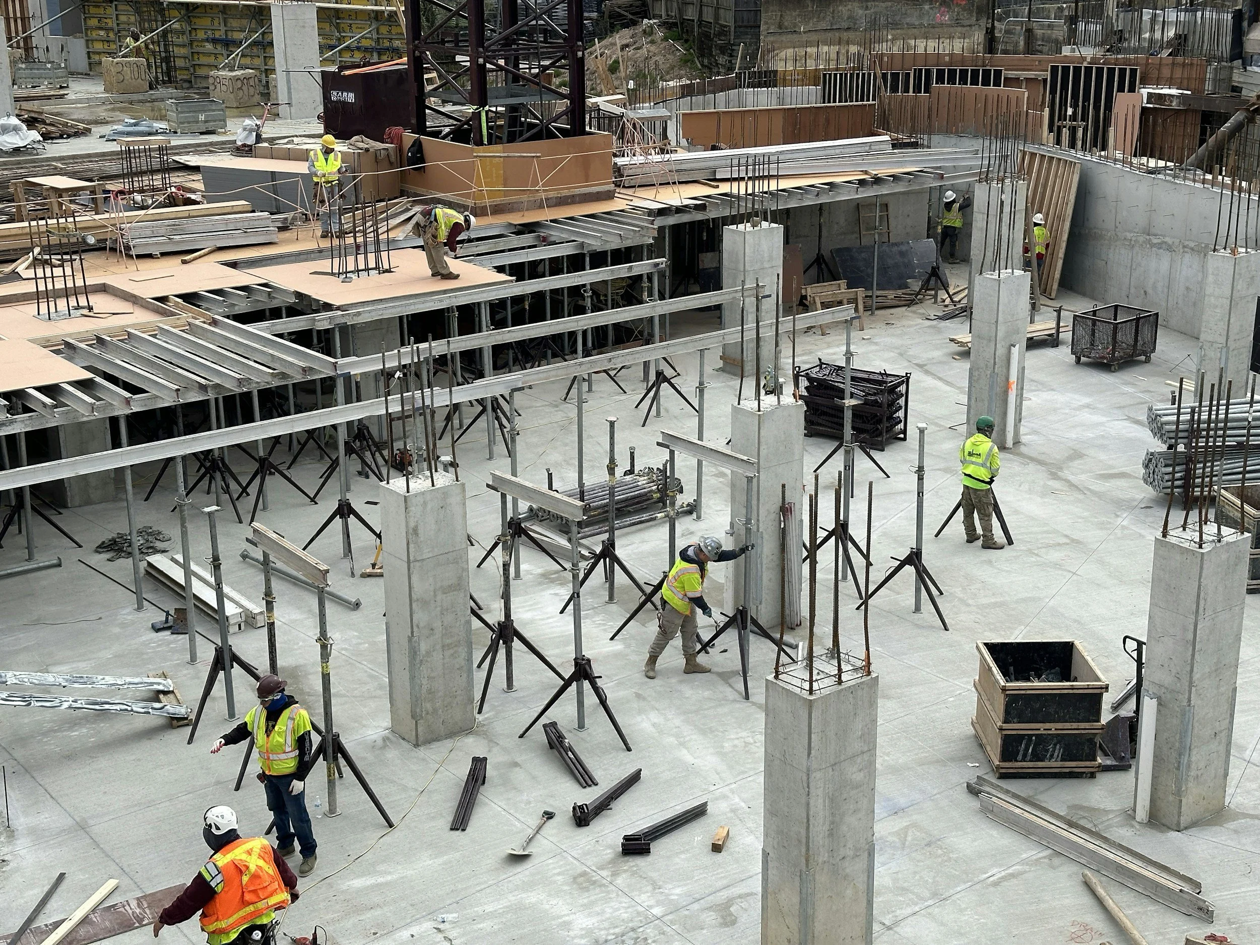
Construction Progress Monitoring
Track every stage of your project with scheduled aerial photography and video. Ideal for contractors, developers, and project owners who need accurate progress documentation.
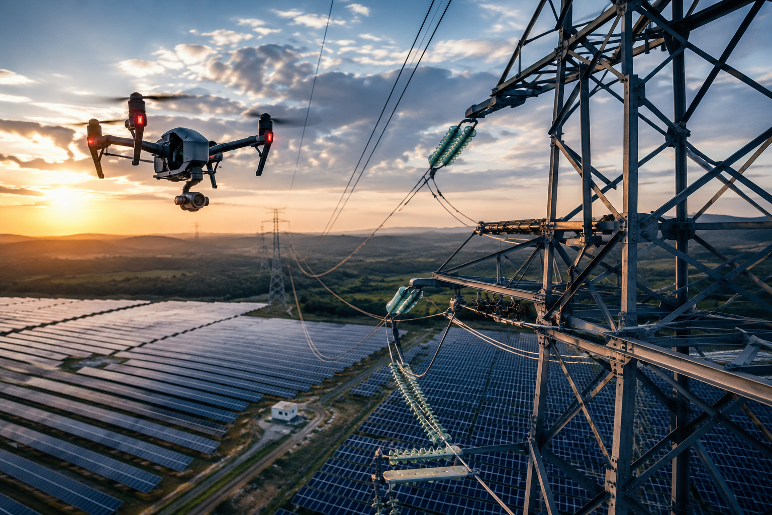
Utility & Infrastructure Inspections
Professional drone inspections for solar farms, cell towers, power lines, substations, wind enegry, and other critical infrastructure. High resolution aerial imagery allows operators to safely inspect hard to reach assets, identify maintenance issues, and document conditions without disrupting operations.
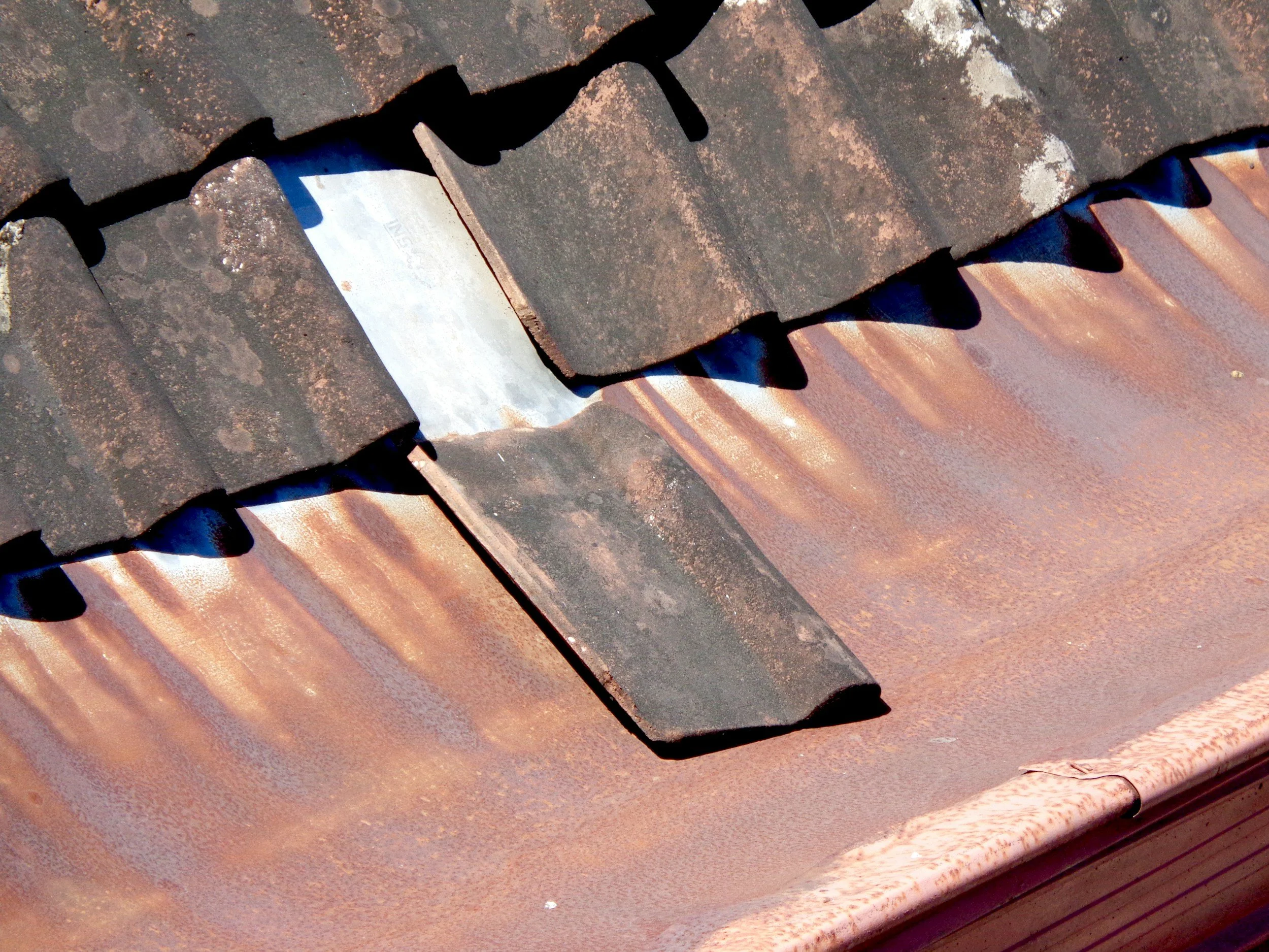
Roof & Insurance Inspection
Safe, high resolution aerial inspections eliminate the need for ladders while providing detailed imagery for maintenance and insurance documentation

Commercial Photography & Videography
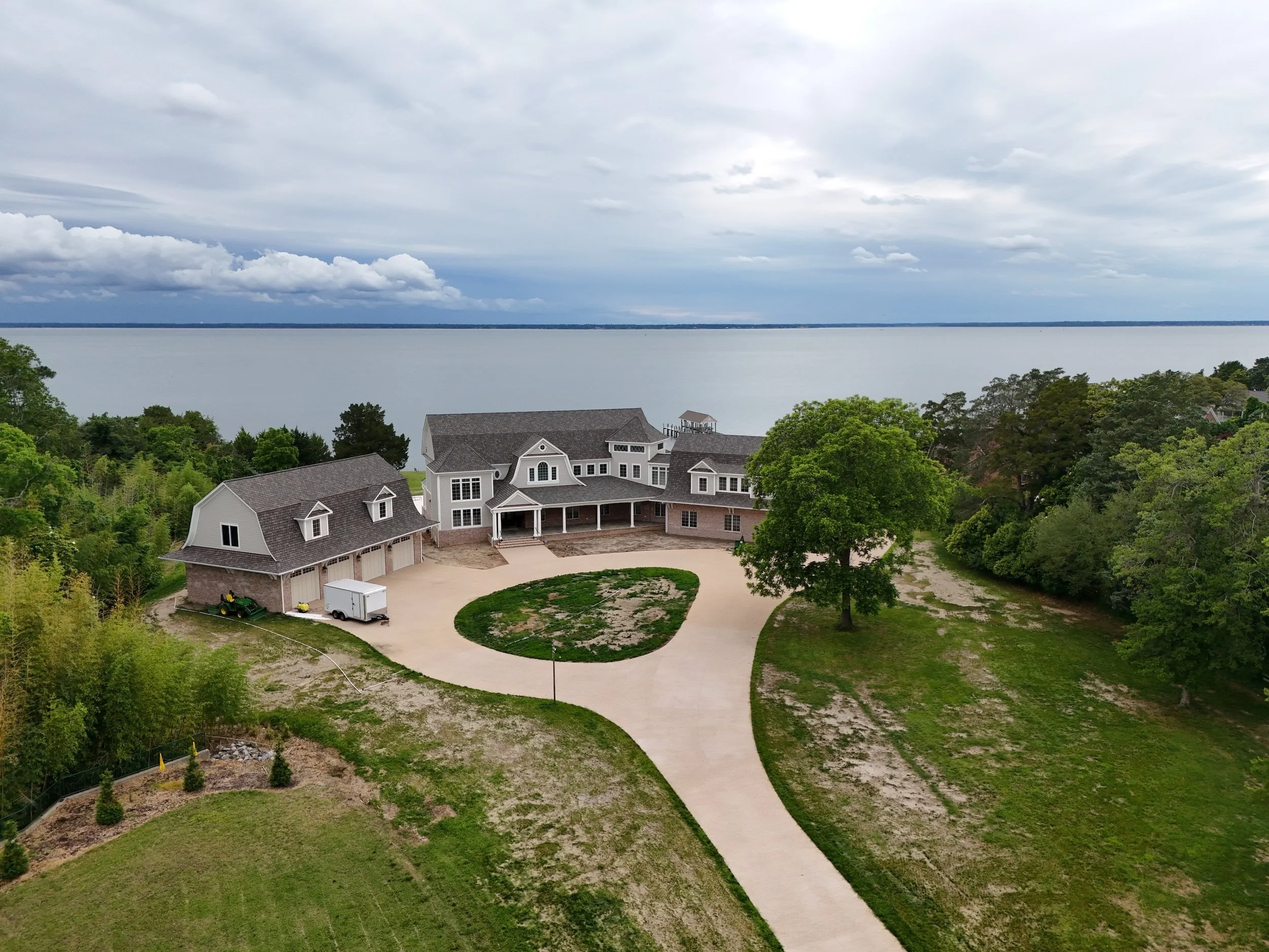
Professional aerial imagery that showcases commercial properties, businesses, and developments with stunning visual impact
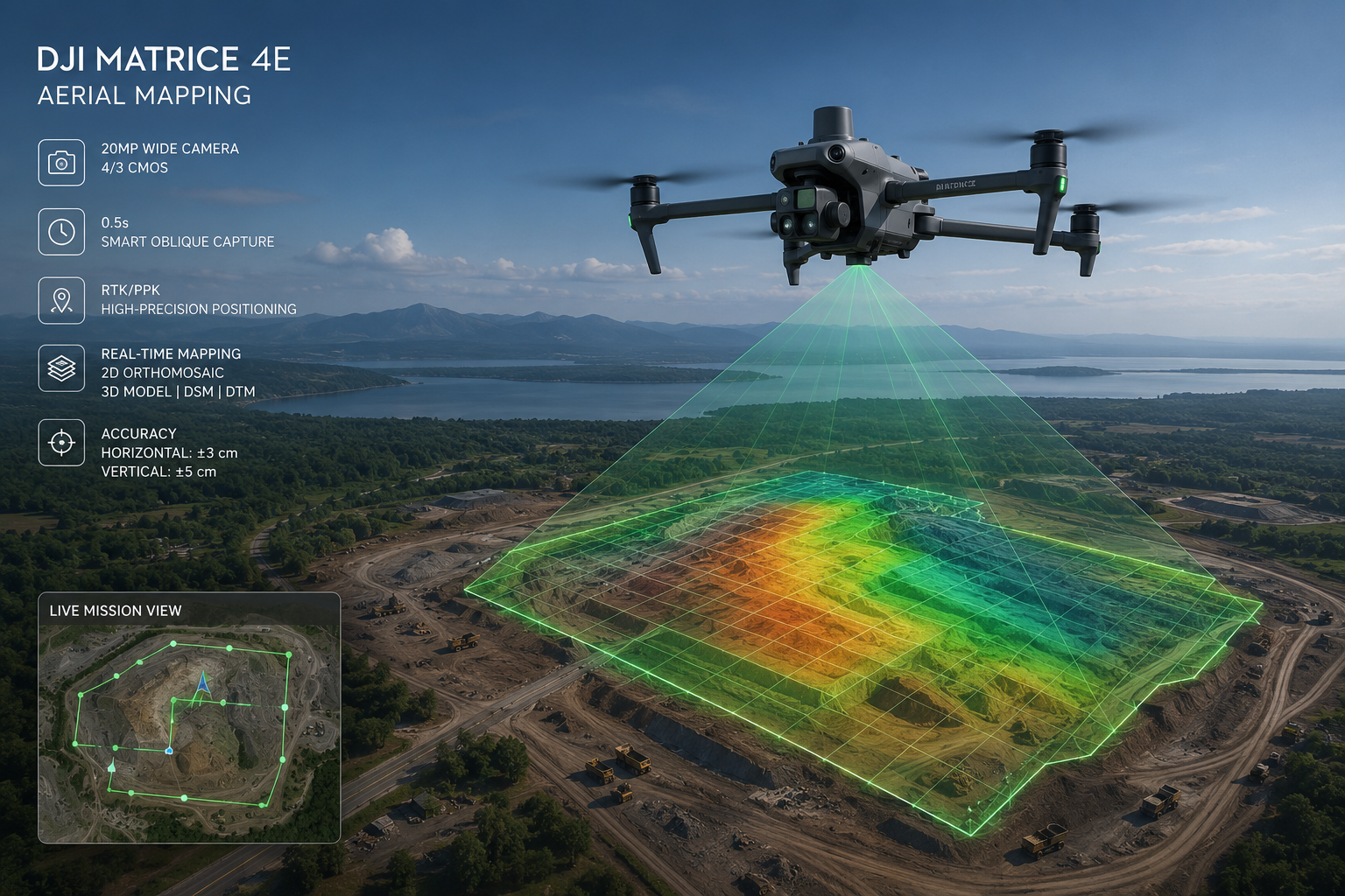
Mapping & Orthomosaics
Accurate aerial mapping and orthomosaics imagery for planning, surveying, and land management projects.
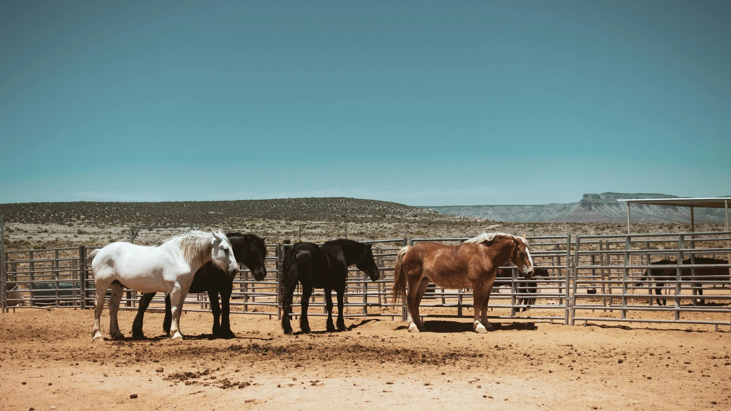
Ranch & Property Surveys
Gain a complete aerial perspective of your ranch, farm, or large property with high-resolution drone photography and video. Whether you’re managing acreage, marketing land for sale, documenting improvements, or inspecting fences, roads, ponds,and other features, aerial imagery provides fast, accurate, and cost effective results

Promotional Video Production
Cinematic aerial video that helps businesses, real estate professionals, and organizations tell their story from a unique perspective

Refire Aerial was founded on the belief that it’s never too late to pursue a dream. After a successful career, I launched ReFire Aerial to combine my passion for aviation, technology, and visual story telling while serving businesses and propery owners throughout Central Texas.
As a FAA Part 107 Certified and fully insured drone pilot, I provide professional aerial photography, videography, inspections, and mapping for construction, commercial real estate, residential real estate, and landowners.
Every project is approached with professionalism, attention to detail, and commitment to delivering exceptional results.
About ReFire Aerial
Portfolio

A showcase of recent aerial photography and videography




Request a quote
Tell us about your project and we will provide a customized quote and timeline.